

Reserve from the case
Shipping Estimate
USA
- USA
- CAN
- USA
- CAN
Ships within 48 hours · Estimated delivery Nov 9 - Nov 14
Reserve from the case
Ships within 48 hours · Estimated delivery Nov 9 - Nov 14
This map covers portions of Washington
Coverage: Latitude: 37°-38° North Longitude: 108°-110° West Raised relief three-dimensional maps provide an unique tactile experience to map reading
Scale: 1:250
Each raised relief map starts as a map printed on a flat sturdy sheet of vinyl
North Carolina and Georgia
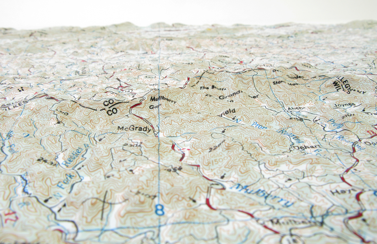
Winston Salem USGS Regional Raised Relief Map Geography_GA This map covers portions ofWinston Salem USGS Regional Raised Relief Map Size: 21" x 31". Scale: 1: 250,000 or 1 inch is approximately 4 miles. This map covers portions of North Carolina and Virginia Latitude: 36 37 North Longitude: 80 82 West Raised relief 3D maps provide an unique tactile experience to map reading. Feeling the terrain allows you to truly understand the terrain. For over 30 years as an authorized dealer of these maps, we have placed these maps in schools,


US$ 49.00


US$ 29.95


US$ 26.95


Pay in 4 interest-free payments of $18.74 Learn more